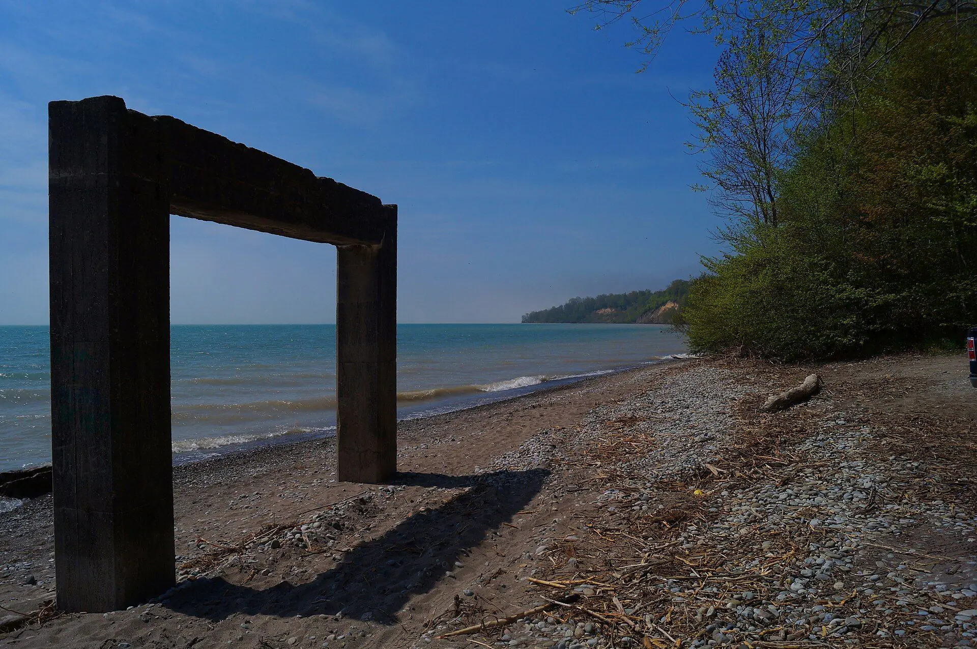
Why the shoreline is different
Parts of the shore sit on bluffs above the water, while the port villages (Port Stanley, Port Bruce, Port Burwell) sit at creek mouths. Bluffs erode and low ground floods, and both can change what a property is worth and what you may build. That is why the province regulates development in hazard areas along the Great Lakes shoreline.
The rules: Ontario Regulation 41/24
Since April 1, 2024, one provincial regulation, O. Reg. 41/24 (Prohibited Activities, Exemptions and Permits), has replaced the 36 separate conservation authority regulations. It applies to areas near the Great Lakes shoreline, among others. In those areas, development (building, adding on, placing fill, altering the shoreline) is prohibited without a permit from the conservation authority.
Which conservation authority?
Along our stretch of the Lake Erie shore, from west to east:
| Shoreline | Authority now | From February 1, 2027 |
|---|---|---|
| West Elgin, Dutton/Dunwich and western Southwold creeks | Lower Thames Valley | Western Lake Erie Regional |
| Port Stanley and the Kettle Creek watershed | Kettle Creek | Eastern Lake Erie Regional |
| Port Bruce and the Catfish Creek watershed | Catfish Creek | Eastern Lake Erie Regional |
| Port Burwell east to Port Dover (about 200 km of Lake Erie shore) | Long Point Region | Eastern Lake Erie Regional |
Before you make an offer
For any lakeshore property:
- Ask the conservation authority whether the lot is in a regulated area, and what its hazard mapping shows.
- Ask the seller for permits for the house, additions, decks, stairs to the beach and any shoreline protection, and check them with the authority and the municipality.
- Get a survey and look at how close the house sits to the top of the bluff or the high-water line.
- Talk to your insurer before you firm up: ask exactly what flood and erosion damage is and is not covered.
- Visit after a storm or in early spring, not just on a calm summer day.
The lake villages
Port Stanley has the busiest market and a Blue Flag main beach; Port Bruce, in Malahide, is a small hamlet with a day-use provincial beach; Port Burwell, in Bayham, has a lighthouse, a beach and a big provincial park; and Port Dover is Norfolk's harbour town. See every Lake Erie waterfront listing.
Before you move ahead
- Identify the conservation authority for the lot
- Check regulated-area and hazard mapping
- Collect permits for the house, additions, stairs and shoreline work
- Survey showing the bluff top or high-water line
- Insurance quote with flood and erosion terms in writing
- Offer conditional on the above
General information for Ontario buyers and sellers, current as of September 26, 2026. It is not legal, tax or financial advice. Rules and rates change, so confirm the details for your own purchase or sale with your lawyer, lender or accountant.
Sources
- Environmental Registry of Ontario: O. Reg. 41/24 decision
- Kettle Creek Conservation Authority: regulation services
- Catfish Creek Conservation Authority: planning and regulations
- Long Point Region Conservation Authority: permits
- Lower Thames Valley Conservation Authority
- Kettle Creek CA: conservation authority amalgamation
- Upper Thames River CA: CA changes